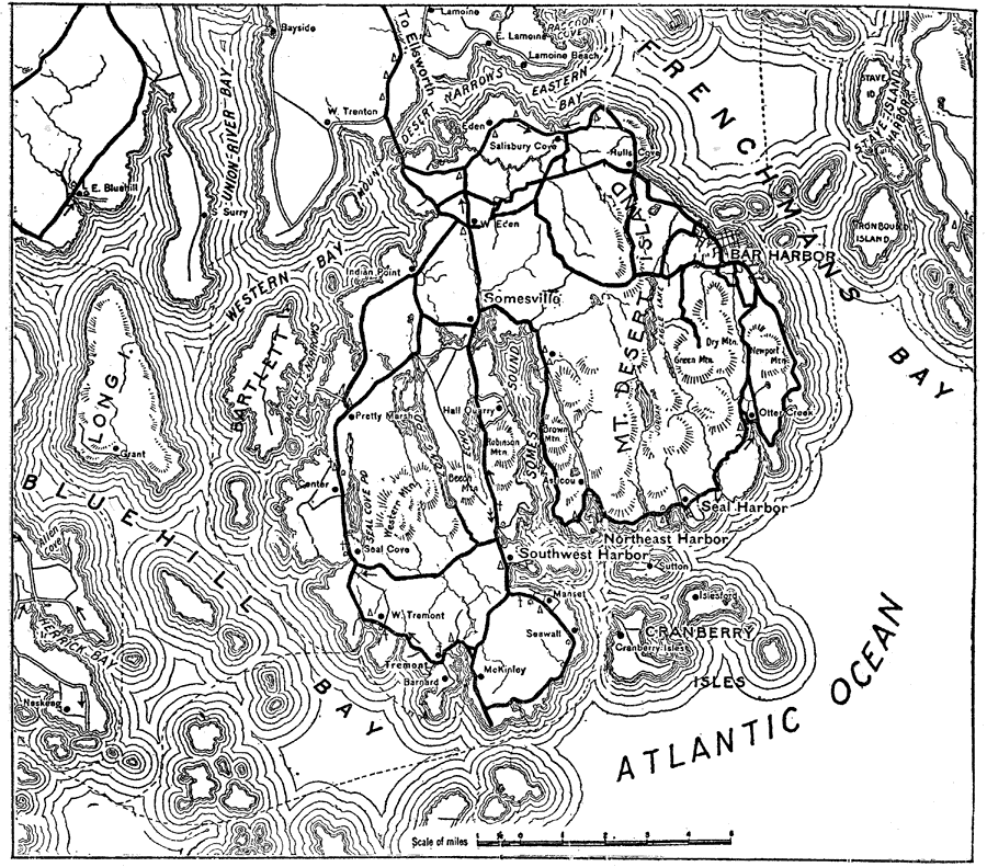
Description: A road map of the Sieur de Monts National Monument in Maine, from the Official Automobile Blue Book (1919), showing the roads on Mt. Desert Island, Bar Harbor, and the coastal features of Frenchman's Bay and Blue Hill Bay.
Place Names: Maine, Somesville, �Sieur de Mont
ISO Topic Categories: transportation,
location,
inlandWaters,
oceans
Keywords: Sieur de Monts, physical, �political, �transportation, kAutomobile, physical features, local jurisdictions, roads, transportation,
location,
inlandWaters,
oceans, Unknown, 1919
Source: The Automobile Blue Book Company, Official Automobile Blue Book 1919 Vol 2 (New York, NY: The Automobile Blue Book Publishing Co., 1919) 984
Map Credit: Courtesy the private collection of Roy Winkelman |
|