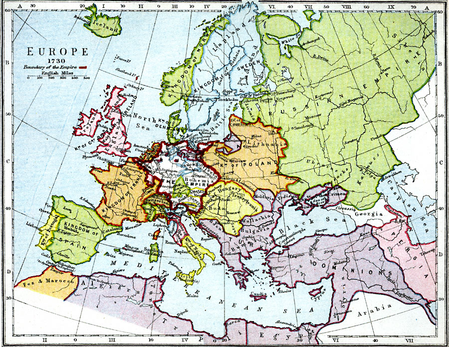
Description: A map of Europe as it was in 1730.
Place Names: A Complete Map of Europe, Iceland, �Ireland, �England, �Scotland, �Great Britain, �Spain, �Portugal, �France, �Poland, �Lithuania, �Hungary, �Transylvania, �Naples, �Algiers, �Fez and Marocco, �Tripoli, �Egypt, �Persia, �Turkish Dominions, �Russian Empire, �Sweden, �Norway, �Ju
ISO Topic Categories: inlandWaters,
location,
oceans,
boundaries
Keywords: Europe, physical, �political, �boundary of the empire, europe in 1730, physical features, country borders,
major political subdivisions, inlandWaters,
location,
oceans,
boundaries, Unknown, 1730
Source: Samuel Rawson Gardiner D.C.L., L.L.D., School Atlas of English History (London, England: Longmans, Green, and Co., 1914) 43
Map Credit: Courtesy the private collection of Roy Winkelman |
|