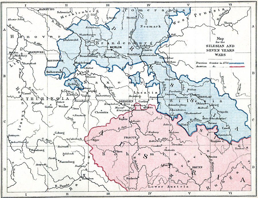
Description: A map of Austria and Prussia during the Silesian and Seven Years Wars, color–coded to show the Prussian and Austrian boundaries in 1756.
Place Names: Central Europe, Austria, �West Prussia, �Hanover, �Thuringia, �Prague, �Toplitz, �Budweis, �Brunn, �Lusatia, �Dresden, �Chemnitz, �Weimar, �Coburg, �Nuremburg, �Hanover, �Berlin, �Breslau, �Hamburg, �Prussi
ISO Topic Categories: inlandWaters,
location,
boundaries
Keywords: Map for the Silesian and Seven Years Wars, physical, �political, �seven years war, silesian war, Prussian frontier in 1756, austrian domain in 1756, physical features, country borders,
major political subdivisions, inlandWaters,
location,
boundaries, Unknown, 1754–1763
Source: Samuel Rawson Gardiner D.C.L., L.L.D., School Atlas of English History (London, England: Longmans, Green, and Co., 1914) 44
Map Credit: Courtesy the private collection of Roy Winkelman |
|