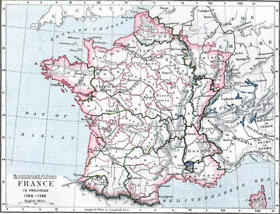
Description: A map of France and its provinces in 1769–1789.
Place Names: France, Pan, �Bearn, �Perpignan, �Narbonne, �Montpellier, �Arles, �Vienne, �Lyons, �Clermont, �Rochelle, �Brest, �Mayenne, �Paris, �Arras, �Amiens, �Metz, �Rheims, �Troyes, �Roue
ISO Topic Categories: inlandWaters,
location,
boundaries,
oceans
Keywords: France, physical, �political, �map of france 1769 to 1789, frontiers where customs and duties were levied, physical features, country borders,
major political subdivisions, inlandWaters,
location,
boundaries,
oceans, Unknown, 1769–1789
Source: Samuel Rawson Gardiner D.C.L., L.L.D., School Atlas of English History (London, England: Longmans, Green, and Co., 1914) 49
Map Credit: Courtesy the private collection of Roy Winkelman |
|