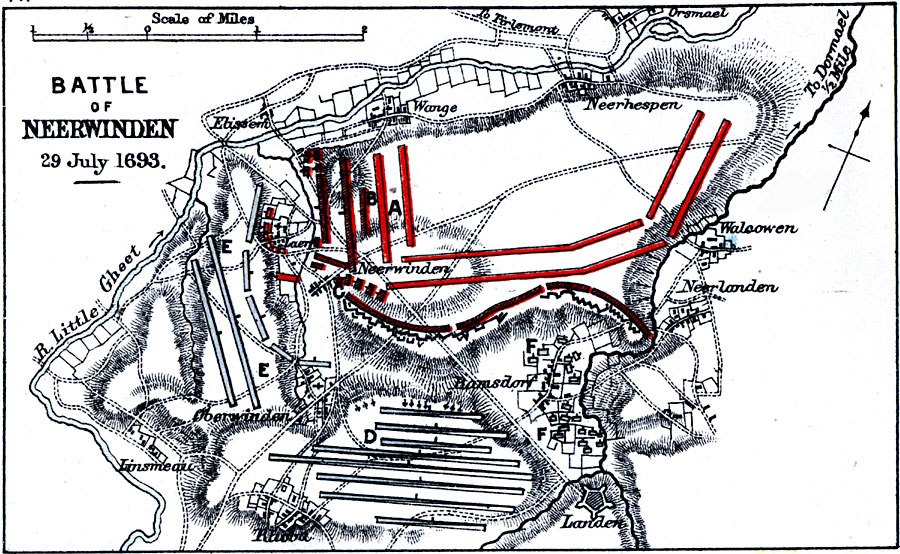
Description: Map showing the Battle of Neerwinden on July 29th, 1693.
Place Names: Belgium, Neerlanden, �Walsowen, �Orsmael, �Neerhespen, �Wange, �Elissem, �Neerwinden, �Laer, �Oberwinden, �Linsmeau, �Lande
ISO Topic Categories: inlandWaters,
location
Keywords: Battle of Neerwinden, physical, �historical, �battle of neerwinden, troops drawn from centre, english guards, french first attack, allied intrenchments, �allied entrenchments, battle of landen, physical features,
topographical, other military, inlandWaters,
location, Unknown, July 29, 1693
Source: Samuel Rawson Gardiner D.C.L., L.L.D., School Atlas of English History (London, England: Longmans, Green, and Co., 1914) 77
Map Credit: Courtesy the private collection of Roy Winkelman |
|