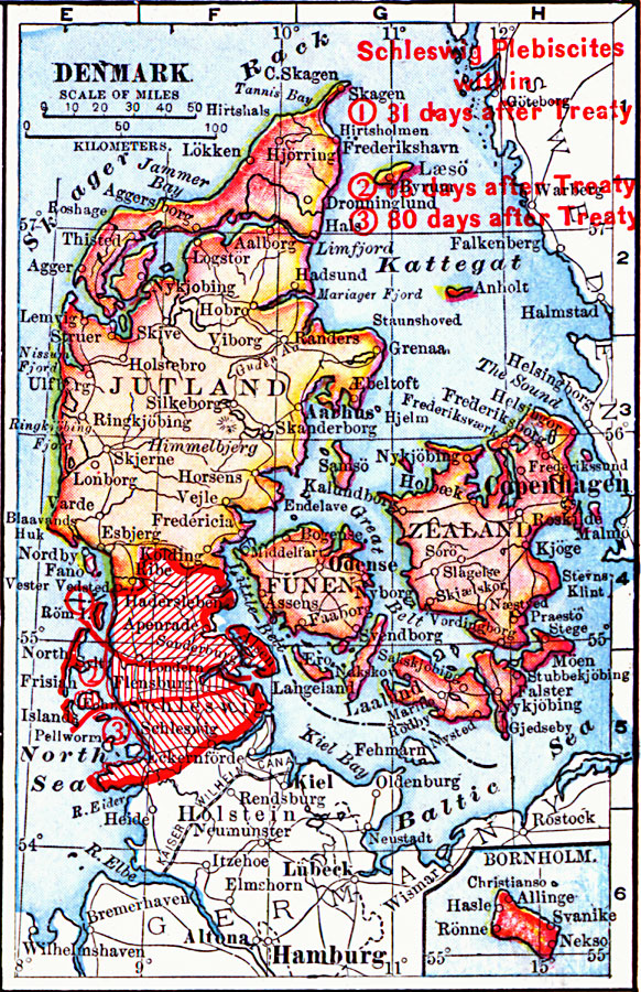
Description: A map from 1919 of Denmark showing borders and boundary changes after World War I. The map shows principal cities and ports, railroads, canals, islands, rivers, and coastal features.
Place Names: Denmark, Denmar
ISO Topic Categories: boundaries,
inlandWaters,
location,
oceans
Keywords: Denmark, physical, �political, �borders, �boundaries, �historical, �World War I, �WWI, physical features, country borders, WWI, boundaries,
inlandWaters,
location,
oceans, Unknown, 1914–1919
Source: Merton M. Wilner, A New Atlas of the New World Corrected According to the Peace Terms Together with a Graphic Story of the Great War 1914-1919 (New York, NY: The Christian Herald, 1919) 6
Map Credit: Courtesy the private collection of Roy Winkelman |
|