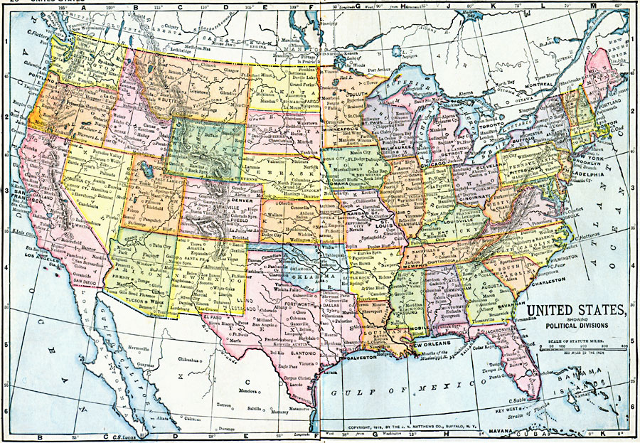
Description: A map from 1919 of the Unites States showing state boundaries and capitals, major cities and towns, mountain systems, lakes, rivers, and coastal features.
Place Names: A Complete Map of the United States, Boston, �Chicago, �Detroit, �Houston, �Los Angeles, �Miami, �New Orleans, �New York, �Seattle, �Wasington D.C
ISO Topic Categories: boundaries,
inlandWaters,
location,
oceans
Keywords: United States Showing Political Divisions, physical, �political, �borders, �boundaries, �historical, �World War I, �WWI, � physical features, country borders, WWI, boundaries,
inlandWaters,
location,
oceans, Unknown, 1919
Source: Merton M. Wilner, A New Atlas of the New World Corrected According to the Peace Terms Together with a Graphic Story of the Great War 1914-1919 (New York, NY: The Christian Herald, 1919) 20-21
Map Credit: Courtesy the private collection of Roy Winkelman |
|