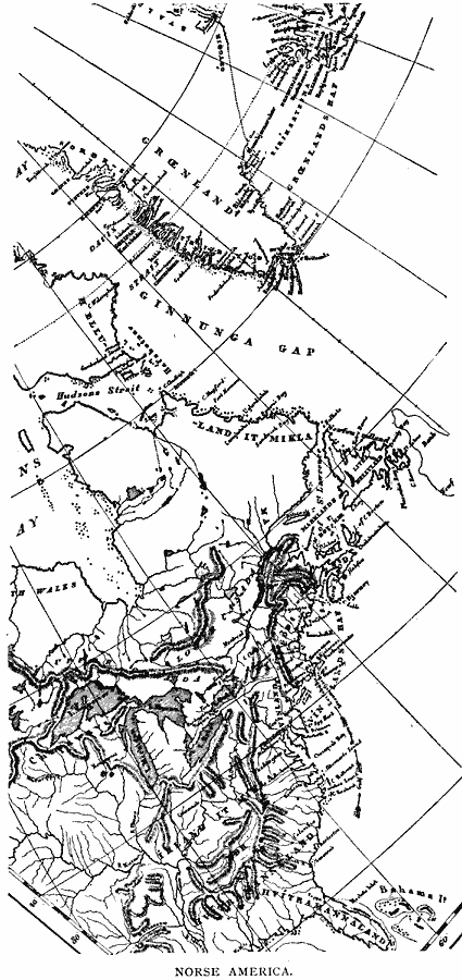
Description: A facsimile of a map from the works of Carl Christian Rafn (1837) showing Iceland, Greenland, and the eastern portion of North America. The map shows the probable areas of pre–Columbian migration and exploration of the Norse from Iceland to North America around AD 861–1285, and shows place names found in Norse sagas.
Place Names: A Regional Map of North America, Canada, �United States, �Greenlan
ISO Topic Categories: location,
oceans,
inlandWaters
Keywords: Norse America, physical, kEarlyMapsFacsimile, physical features, location,
oceans,
inlandWaters, Unknown, 861–1285
Source: Justin Winsor, Narrative and Critical History of America Vol 1 (New York, NY: Houghton, Mifflin, and Company, 1889) 95
Map Credit: Courtesy the private collection of Roy Winkelman |
|