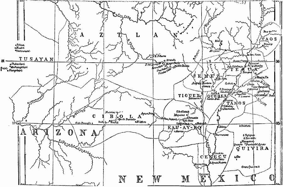
Description: The small dotted circles stand for inhabited pueblos; those with a perpendicular line attached are ruins; and when this perpendicular line is crossed it is a Mexicanized pueblo.
Place Names: New South States, Arizona, �New Mexico, �New Southwes
ISO Topic Categories: location,
inlandWaters,
boundaries
Keywords: Pueblo Region of Arizona and New Mexico, physical, �political, �Native Americans, �Pueblo, kNativeAmerican, physical features, local jurisdictions, location,
inlandWaters,
boundaries, Unknown, 1876
Source: Justin Winsor, Narrative and Critical History of America Vol 1 (New York, NY: Houghton, Mifflin, and Company, 1889) 394
Map Credit: Courtesy the private collection of Roy Winkelman |
|