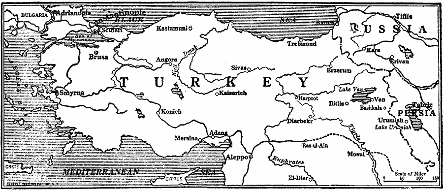
Description: The portions of Turkey that make up the nation of Armenia. Six Turkish vilayets in the northeastern part of Asia Minor constitute Armenia. The Armenian nation is one of the oldest in the world; the Armenian church is the oldest state Christian church in the world.
Place Names: Southwest Asia, Turkey, �Russi
ISO Topic Categories: boundaries,
location,
oceans,
inlandWaters
Keywords: Turkish Armenia, physical, �political, physical features, country borders, WWI, boundaries,
location,
oceans,
inlandWaters, Unknown, 1915
Source: Willis J. Abbot, The United States in the Great War (New York, NY: Leslie-Judge Co., 1920) 183
Map Credit: Courtesy the private collection of Roy Winkelman |
|