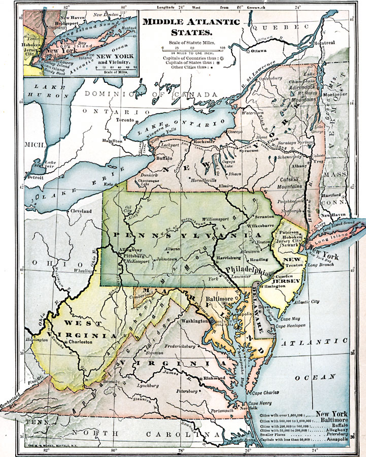
Description: The Middle Atlantic states.
Place Names: Atlantic States, New York, �Philadelphia, �Baltimore, �Dover, �Richmond, �Syracuse, �Rochester, �Troy, �Middle Atlantic States, �Mid-Atlantic States, �New York State, �Pennsylvani
ISO Topic Categories: location,
oceans,
inlandWaters
Keywords: The Middle Atlantic States, physical, �political, physical features, major political subdivisions,
country borders, location,
oceans,
inlandWaters, Unknown, 1909
Source: Charles F. King, Elementary Geography (New York, NY: Charles Scribner's Sons, 1909) 117
Map Credit: Courtesy the private collection of Roy Winkelman |
|