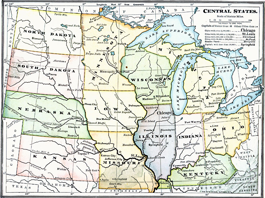
Description: The central states, showing Ohio, Indiana, Kentucky, Illinois, Wisconsin, Michigan, Minnesota, Iowa, Missouri, Kansas, Nebraska, South Dakota, and North Dakota.
Place Names: Midwest States, Chicago, �Jefferson City, �Cleveland, �Indianapolis, �Springfield, �Illinois, �Iowa, �Indiana, �Kansas, �Michigan, �Minnesota, �Nebraska, �Wisconsin, �Missouri, �South Dakot
ISO Topic Categories: boundaries,
location,
inlandWaters
Keywords: The Central States, physical, �political, physical features, major political subdivisions, boundaries,
location,
inlandWaters, Unknown, 1909
Source: Charles F. King, Elementary Geography (New York, NY: Charles Scribner's Sons, 1909) 131
Map Credit: Courtesy the private collection of Roy Winkelman |
|