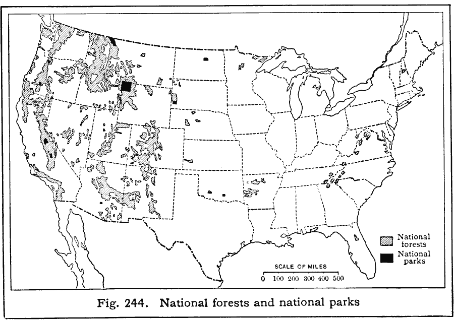
Description: A map from 1916 of the United States showing the National Forests and National Parks of the country.
Place Names: Forestry,
ISO Topic Categories: boundaries,
location
Keywords: National Forests and Parks, physical, �political, �national park, �national forest, physical features, local jurisdictions, boundaries,
location, Unknown, 1916
Source: Albert Perry Brigham & Charles T. McFarlane, Essentials of Geography (New York, NY: American Book Company, 1916) 162
Map Credit: Courtesy the private collection of Roy Winkelman |
|