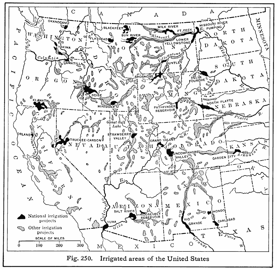
Description: A map from 1916 of the western United States showing the irrigation projects in the region, keyed to show the projects under the National Reclamation Act (also known as the Newlands Reclamation Act) of 1902, and other private or incorporated water projects. The larger national projects are named on the map.
Place Names: Western States,
ISO Topic Categories: inlandWaters,
location,
boundaries
Keywords: Irrigated Areas in the United States, physical, �political, �hydrological, �irrigation, physical features, country borders,
major political subdivisions, inlandWaters,
location,
boundaries, Unknown, 1916
Source: Albert Perry Brigham & Charles T. McFarlane, Essentials of Geography (New York, NY: American Book Company, 1916) 166
Map Credit: Courtesy the private collection of Roy Winkelman |
|