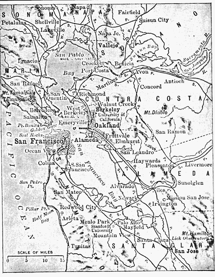
Description: A map from 1916 of the San Francisco Bay area showing the Golden Gate, San Francisco Bay, San Pablo Bay, Suisun Bay, the mouth of the Sacramento River, Alcatraz Island, Mount Diablo, the cities of San Francisco, Oakland, San Jose, and Benicia, railroads, rivers, and terrain features.
Place Names: California, San Francisco, �Oakland, �Berkel
ISO Topic Categories: location,
inlandWaters,
oceans,
transportation
Keywords: San Francisco and Vicinity, physical, �political, �transportation, physical features, local jurisdictions, roads,
railroads, location,
inlandWaters,
oceans,
transportation, Unknown, 1916
Source: Albert Perry Brigham & Charles T. McFarlane, Essentials of Geography (New York, NY: American Book Company, 1916) 182
Map Credit: Courtesy the private collection of Roy Winkelman |
|