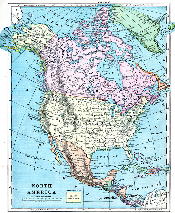
Description: A map from 1899 of North America, Central America, and the Caribbean showing national boundaries, capitals and major cities, terrain, lakes, rivers, and coastal features. The map shows longitude from Greenwich at the top of the map, and from Washington at the bottom. An outline map of Colorado at the same map scale shows comparative area size.
Place Names: A Complete Map of North America, Bahamas, �Canada, �Central America, �Cuba, �Mexico, �United State
ISO Topic Categories: oceans,
inlandWaters,
location,
boundaries
Keywords: North America, borders, physical, topographical, kComparativeArea,physical features,
topographical, country borders, oceans,
inlandWaters,
location,
boundaries, Unknown, 1899
Source: Horace S. Tarbell, LL.D. , The Complete Geography (New York, NY: American Book Company, 1899) 20
Map Credit: Courtesy the private collection of Roy Winkelman |
|