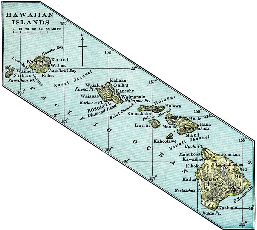
Description: A map from 1899 of the Hawaiian Islands showing the main islands, towns, ports, volcanoes, terrain, and coastal features.
Place Names: Hawaii, Halawa, �Hawaii, �Kauai, �Maui, �Oahu, ��Hana, �Hilo, �Honolulu, �Kaneohe, �Kuamalapau, �Makaha, �Pahoa, �Pearl City, �Puuwai, �Waime
ISO Topic Categories: oceans,
inlandWaters,
location
Keywords: Hawaiian Islands, borders, �topographical, �physical, physical features,
topographical, country borders, oceans,
inlandWaters,
location, Unknown, 1899
Source: Horace S. Tarbell, LL.D. , The Complete Geography (New York, NY: American Book Company, 1899) 62
Map Credit: Courtesy the private collection of Roy Winkelman |
|