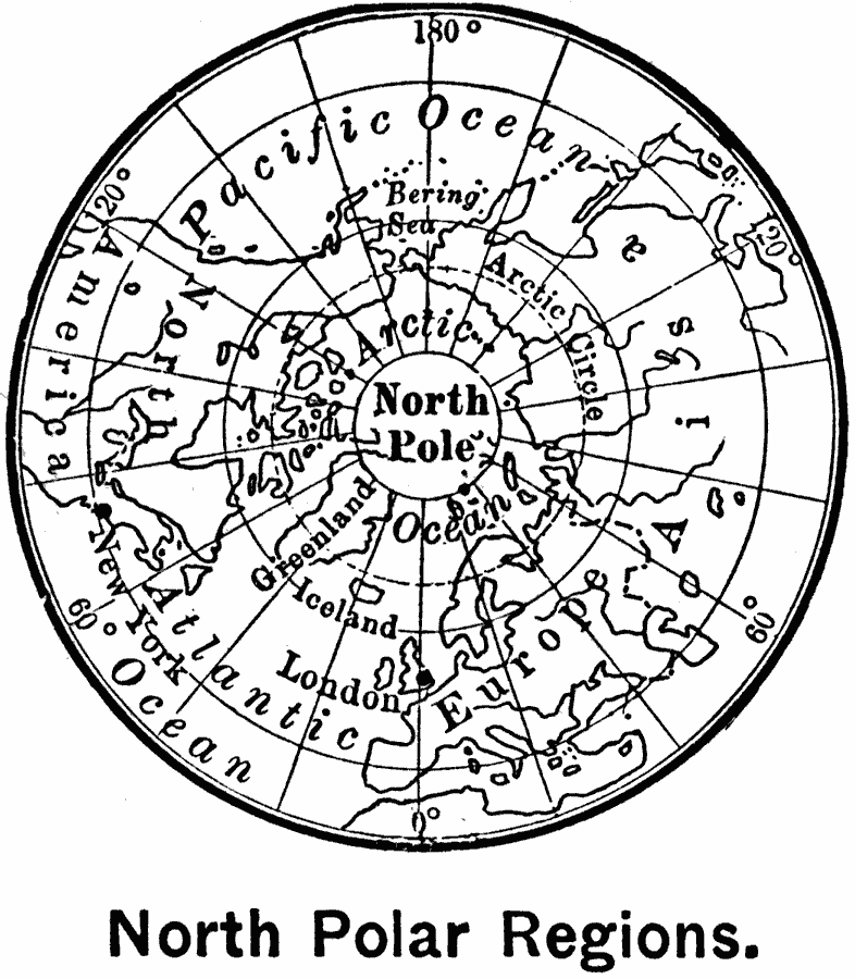
Description: A base map of the North Polar Region from 1899 showing the hemisphere from 90° North to approximately 30° North. The map shows the extent of known lands at the time, and shows the cities of London and New York for reference.
Place Names: Arctic Region, Alaska, �Canada, �Greenland, �Iceland, �Russi
ISO Topic Categories: oceans,
location
Keywords: North Polar Region, physical, � physical features, oceans,
location, Unknown, 1899
Source: Horace S. Tarbell, LL.D. , The Complete Geography (New York, NY: American Book Company, 1899) 132
Map Credit: Courtesy the private collection of Roy Winkelman |
|