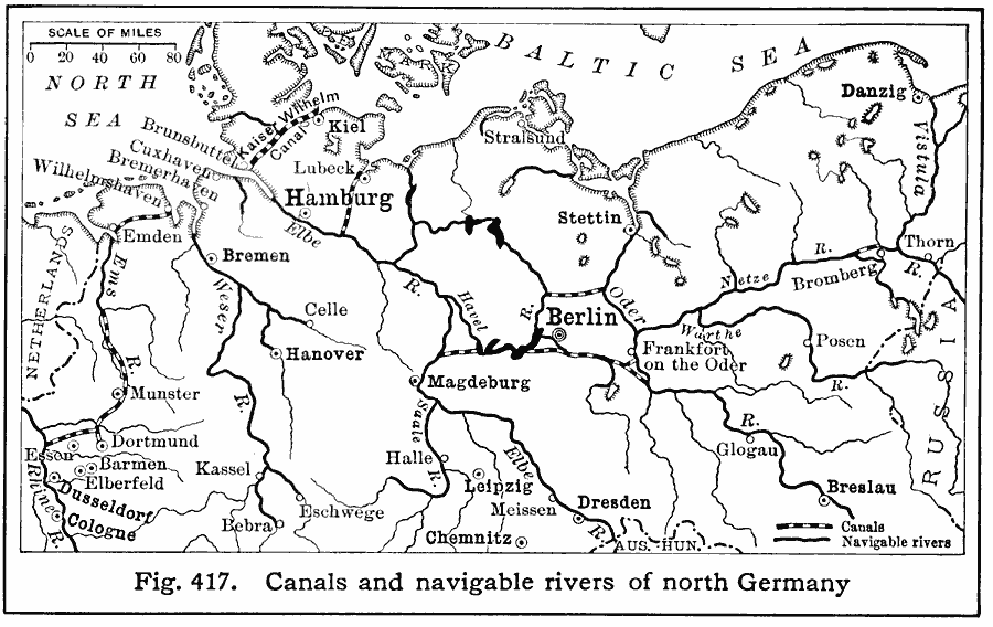
Description: A map showing the canals and navigable rivers of north Germany in 1916. This map illustrates the importance of water transport to the major inland German cities of Berlin, Hamburg, Hanover, Breslau, Dresden, Dusseldorf, and Cologne.
Place Names: Germany, German
ISO Topic Categories: location,
oceans,
inlandWaters,
transportation
Keywords: North German Waterways, physical, �transportation, kTransportation, physical features, water routes, location,
oceans,
inlandWaters,
transportation, Unknown, 1916
Source: Albert Perry Brigham & Charles T. McFarlane, Essentials of Geography (New York, NY: American Book Company, 1916) 292
Map Credit: Courtesy the private collection of Roy Winkelman |
|