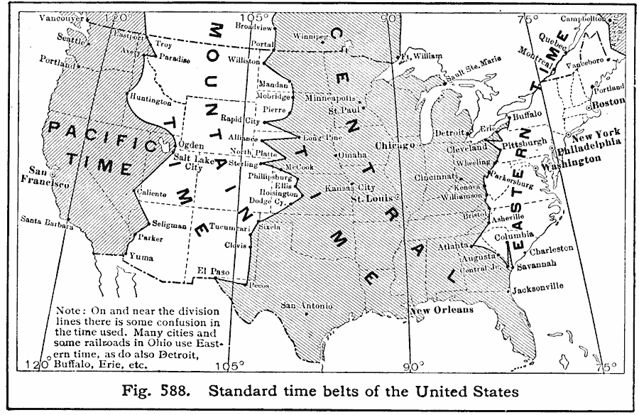
Description: map from 1916 showing the Standard Time Belts in the contiguous 48 states as they were then established. The map notes that on and near the time zone division lines there is some confusion in the time used. Many cities and some railroads in Ohio use Eastern time, as do also Detroit, Buffalo, Erie, and others.
Place Names: A Complete Map of the United States, Seattle, �Washington D.C., �New York, �New Orleans, �Chicago, �Boston, �time zone
ISO Topic Categories: location,
oceans,
inlandWaters,
boundaries
Keywords: United States Time Zones, physical, �political, �time zones, physical features, major political subdivisions,
country borders, location,
oceans,
inlandWaters,
boundaries, Unknown, 1916
Source: Albert Perry Brigham & Charles T. McFarlane, Essentials of Geography (New York, NY: American Book Company, 1916) 397
Map Credit: Courtesy the private collection of Roy Winkelman |
|