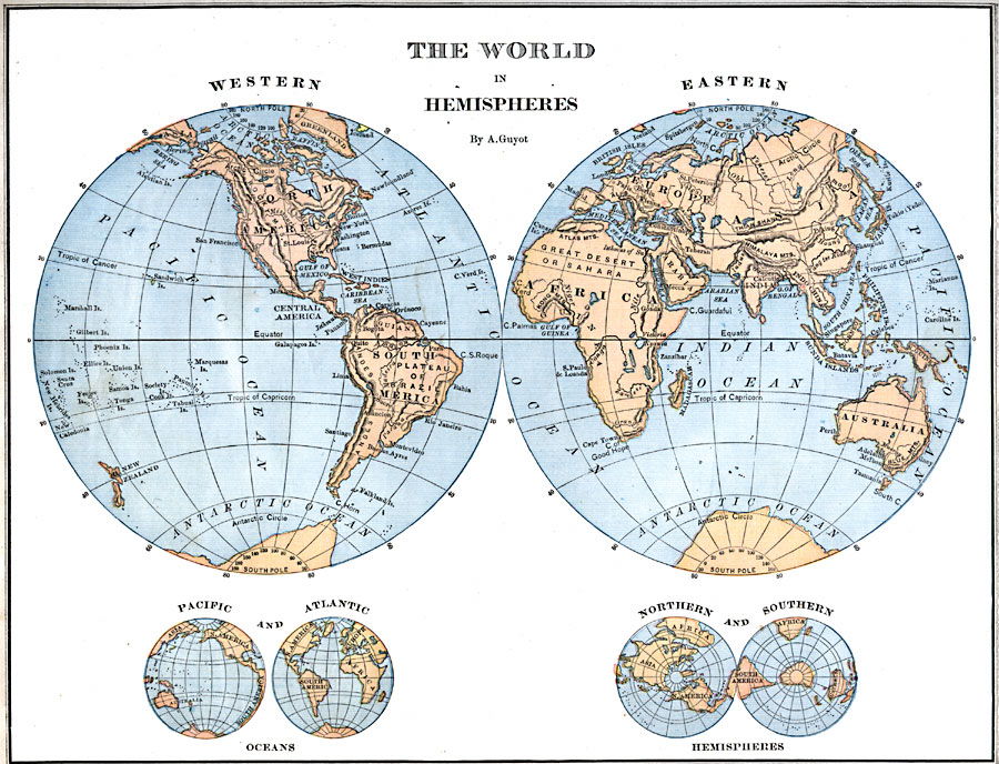
Description: A world map from 1882 showing the Western and Eastern hemispheres. The map includes small images of double–hemispheres showing the Pacific and the Atlantic oceans, as well as polar views of the Northern and Southern hemispheres.
Place Names: A Complete Map of Globes and Multi-continent, Africa, �Antarctica, �Asia, �Australia, �Europe, �South America, �North Americ
ISO Topic Categories: location,
oceans,
inlandWaters
Keywords: World Hemispheres, physical, �political, physical features, location,
oceans,
inlandWaters, Unknown, 1882
Source: , Guyot's New Intermediate Geography (New York, New York: Ivison, Blakeman & Company, 1882) 12
Map Credit: Courtesy the private collection of Roy Winkelman |
|