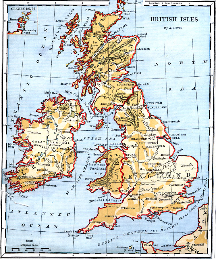
Description: A map of the British Isles from 1882, showing Ireland, Scotland, England, and Wales, with major cities, rivers, and terrain. An inset map shows the Orkney Islands.
Place Names: United Kingdom, Ireland, �Wales, �England, �Scotland, �France, �Taunton, �Exeter, �London, �Cambridge, �Leicester, �Birmingham, �Sheffield, �Stafford, �Bradford, �Edinburgh, �Glasgow, �Perth, �Dublin, �Limerick, �Cor
ISO Topic Categories: boundaries,
inlandWaters,
location,
oceans
Keywords: British Isles, physical, �political, physical features, country borders, boundaries,
inlandWaters,
location,
oceans, Unknown, 1882
Source: , Guyot's New Intermediate Geography (New York, New York: Ivison, Blakeman & Company, 1882) 76
Map Credit: Courtesy the private collection of Roy Winkelman |
|