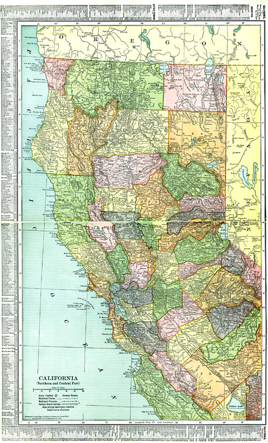
Description: A map of Northern and Central California from 1911 showing the State capital of Sacramento, counties and county seats, major cities and towns, railroads, National Park boundaries, National Forest boundaries, Indian reservation boundaries, mountain systems, lakes, rivers, and coastal features. A grid reference in the margins of the map lists counties, principal cities, and towns of this part of the state.
Place Names: California, San Francisco, �Stockton, �Yreka, �Humboldt, �Oaklan
ISO Topic Categories: transportation,
oceans,
location,
inlandWaters,
boundaries
Keywords: Northern and Central California, physical, �political, �transportation, physical features, major political subdivisions,
county borders, railroads, transportation,
oceans,
location,
inlandWaters,
boundaries, Unknown, 1911
Source: C. S. Hammond, Hammond's Pictorial Atlas of the World (New York, NY: C. S. Hammond & Company, 1911) 122-123
Map Credit: Courtesy the private collection of Roy Winkelman |
|