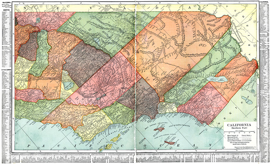
Description: A map of Southern California from 1911 showing the major cities and towns, railroads, National Park boundaries, National Forest boundaries, Indian reservation boundaries, mountain systems, lakes, rivers, and coastal features. A grid reference in the margins of the map lists counties, principal cities, and towns of this part of the state.
Place Names: California, Los Angeles, �San Diego,�San Diego
ISO Topic Categories: transportation,
location,
inlandWaters,
oceans,
boundaries
Keywords: Southern California, physical, �political, �transportation, physical features, country borders,
major political subdivisions,
county borders, railroads, transportation,
location,
inlandWaters,
oceans,
boundaries, Unknown, 1911
Source: C. S. Hammond, Hammond's Pictorial Atlas of the World (New York, NY: C. S. Hammond & Company, 1911) 124-125
Map Credit: Courtesy the private collection of Roy Winkelman |
|