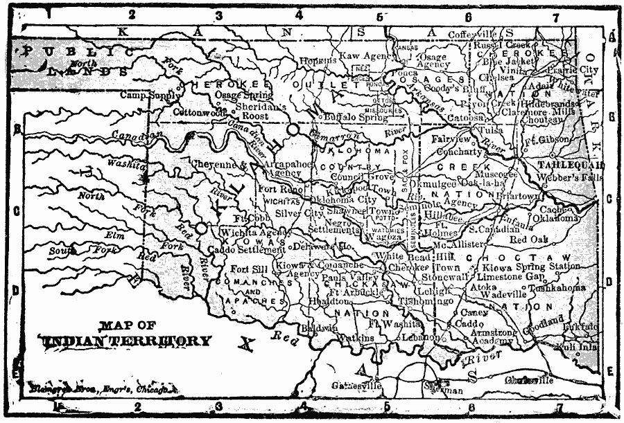
Description: The Indian Territory in 1902.
Place Names: Oklahoma, Indian Territory, �Oklahoma, �Tahlequah, �Tulsa, �Old Southwes
ISO Topic Categories: boundaries,
inlandWaters,
location,
oceans
Keywords: Indian Territory, physical, �political, �borders, �boundaries, kNativeAmerican,physical features, country borders,
county borders, boundaries,
inlandWaters,
location,
oceans, Unknown, 1902
Source: George W. Conklin, The New Conklin's Handy Manual of Useful Information and Atlas of the World (Chicago, IL: The Christian Herald, 1902) 387
Map Credit: Courtesy the private collection of Roy Winkelman |
|