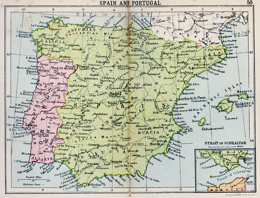
Description: A map of Spain and Portugal in 1920 showing major cities and ports, railways, and rivers, and includes an inset map detailing the Strait of Gibraltar.
Place Names: Iberian Peninsula, Portugal, �Spain, �Oporto, �Minho, �Lisbon, �Seville, �Murcia, �Madrid, �Oviedo, �Huesc
ISO Topic Categories: boundaries,
inlandWaters,
location,
oceans
Keywords: Spain and Portugal, physical, �political, physical features, country borders, boundaries,
inlandWaters,
location,
oceans, Unknown, 1920
Source: , Asprey's Atlas of the World (London, England: Asprey and Co., Ltd., 1920) 50
Map Credit: Courtesy the private collection of Roy Winkelman |
|