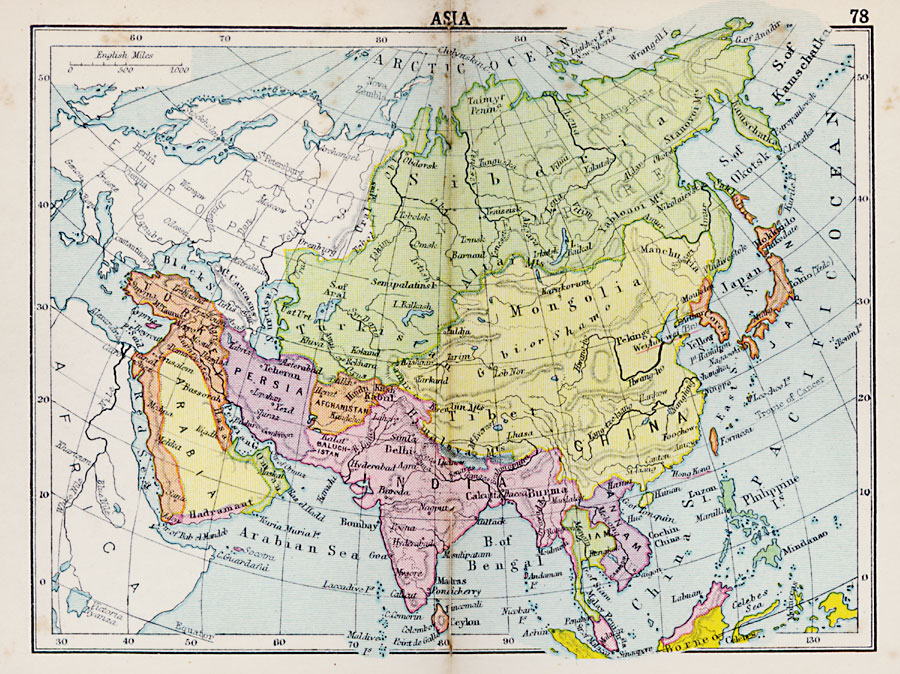
Description: A map of Asia from 1920 showing country boundaries at the time, foreign possessions, capitals and other major cities, rivers, lakes, terrain, and coastal features.
Place Names: A Complete Map of Asia, Arabia, �Persia, �Turkey, �Burma, �India, �Siam, �Annam, �Japan, �Tibet, �China, �Mongolia, �Siberia, �Afghanistan, �Ceylo
ISO Topic Categories: boundaries,
inlandWaters,
location,
oceans
Keywords: Asia, physical, �political, physical features, country borders, boundaries,
inlandWaters,
location,
oceans, Unknown, 1920
Source: , Asprey's Atlas of the World (London, England: Asprey and Co., Ltd., 1920) 78
Map Credit: Courtesy the private collection of Roy Winkelman |
|