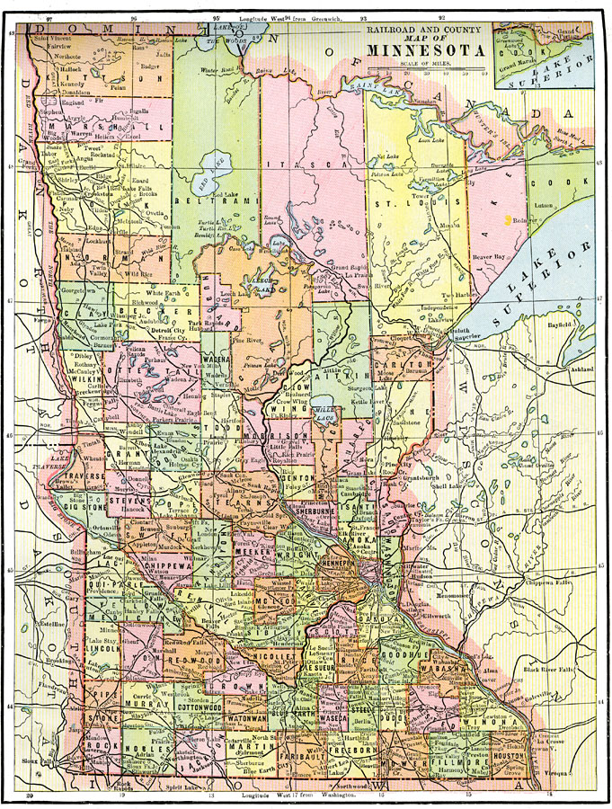
Description: A map from 1892 of Minnesota showing the capital of St. Paul, counties, major cities and towns, railroads, lakes, and rivers, including the headwaters of the Mississippi River.
Place Names: Minnesota, St. Cloud, �St. Paul, �Worthington, �Mankato, �Minneapolis, �Winon
ISO Topic Categories: boundaries,
location,
inlandWaters,
transportation
Keywords: Minnesota, physical, �transportation, �political, physical features, county borders, railroads, boundaries,
location,
inlandWaters,
transportation, Unknown, 1892
Source: , The American Republic (Chicago, IL: John W. Iliff and Co., 1892) 55
Map Credit: Courtesy the private collection of Roy Winkelman |
|