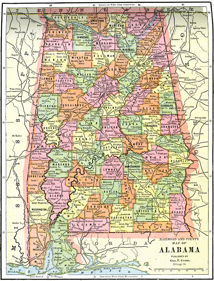
Description: A map of Alabama from 1892 showing the State capital of Montgomery, counties and county seats, major cities and towns, railroads, rivers, and Mobil Bay.
Place Names: Alabama, Montgomery, �Birmingham, �Tuscaloosa, �Mobile, �Florence, �Selm
ISO Topic Categories: boundaries,
inlandWaters,
location,
transportation
Keywords: Alabama, physical, �political, �transportation, physical features, county borders, railroads, boundaries,
inlandWaters,
location,
transportation, Unknown, 1892
Source: , The American Republic (Chicago, IL: John W. Iliff and Co., 1892) 63
Map Credit: Courtesy the private collection of Roy Winkelman |
|