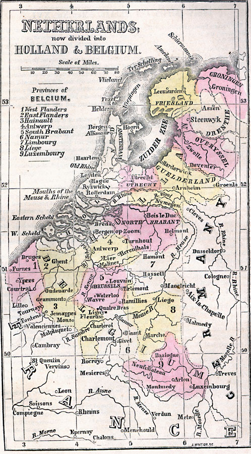
Description: A map from 1859 of the Netherlands showing the division into Holland and Belgium. This map shows major cities and rivers, the Zuider Zee, and the political districts for the two countries.
Place Names: Low Countries, Belgium, �Brussels, �Charlemont, �Friesland, �Groningen, �Guelderland, �Holland, �Overyssel, �Turnhout, �Utrecht, �Ypre
ISO Topic Categories: inlandWaters,
location,
oceans
Keywords: The Netherlands, borders, �historical, country borders,
county borders, historical event, inlandWaters,
location,
oceans, Unknown, 1859
Source: Marcius Willson, Willson's Outlines of History (New York, NY: Ivison & Phinney, 1859) 593
Map Credit: Courtesy the private collection of Roy Winkelman |
|