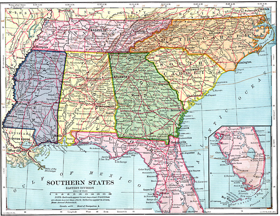
Description: The southern United States.
Place Names: Southern States, Alabama, �Florida, �Georgia, �Mississippi, �North Carolina, �South Carolina, �Tennessee,
ISO Topic Categories: oceans,
location,
inlandWaters
Keywords: Southern States – Eastern Division, borders, �climate, �historical, �meteorological, physical features, railroads,
water routes, climate, oceans,
location,
inlandWaters, Unknown, 1902
Source: H. Justin Roddy, Complete Geography (New York, NY: American Book Company, 1902) 56
Map Credit: Courtesy the private collection of Roy Winkelman |
|