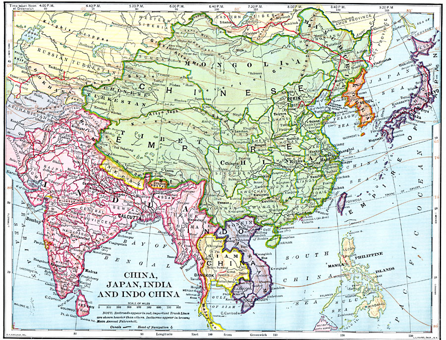
Description: A map from 1902 of China, Japan, India, and Indo–China, showing country borders and capitals, principal cities, railroads, mountain systems, rivers, and coastal features. Isothems of mean annual temperature are shown, given in degrees Fahrenheit.
Place Names: Eastern Asia, China, �India, �Korea, �Japan, �Philippine
ISO Topic Categories: oceans,
location,
inlandWaters
Keywords: China, Japan, India, and Indo-China, borders, �historical, �transportation, �meteorological, physical features, railroads,
water routes, climate, oceans,
location,
inlandWaters, Unknown, 1902
Source: H. Justin Roddy, Complete Geography (New York, NY: American Book Company, 1902) 118
Map Credit: Courtesy the private collection of Roy Winkelman |
|