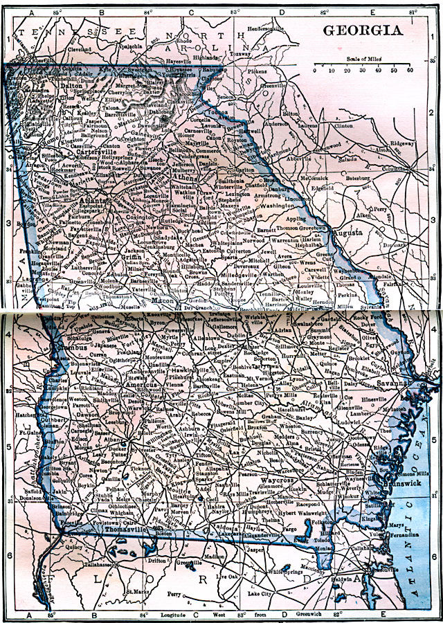
Description: A map from 1922 of Georgia showing the State capital of Atlanta, major cities and towns, railroads, northern mountains, lakes, rivers, and the Atlantic coastline.
Place Names: Georgia, Atlanta, �Macon, �Savannah, �Rome, �Athens, �Columbus, �Augusta, �Milledgevill
ISO Topic Categories: boundaries,
inlandWaters,
location,
oceans
Keywords: Georgia, physical, physical features, boundaries,
inlandWaters,
location,
oceans, Unknown, 1922
Source: , Putnam's Handy Map Book (New York, NY: G. P. Putnam's Sons, 1922) 190-191
Map Credit: Courtesy the private collection of Roy Winkelman |
|