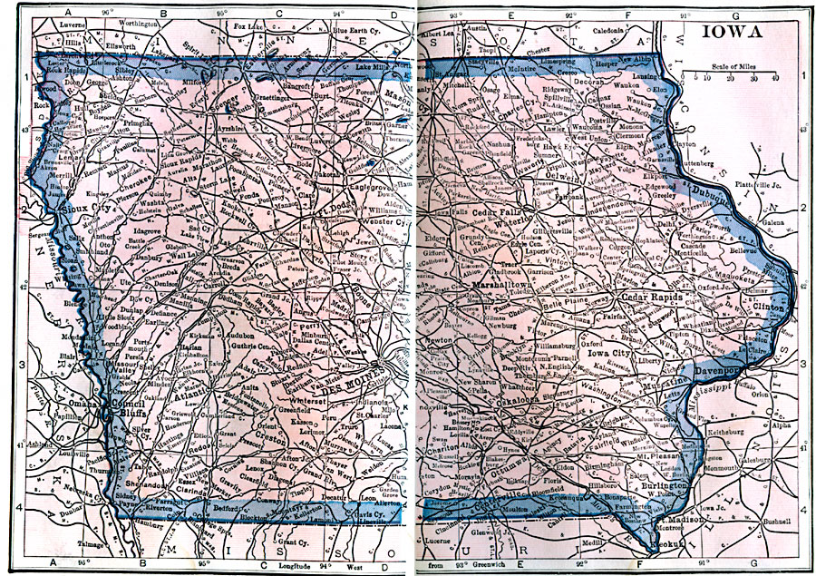
Description: A map from 1922 of Iowa showing the State capital of Des Moines, major cities and towns, railroads, and rivers, including the border rivers of the Mississippi and Missouri.
Place Names: Iowa, Des Moines, �Sioux City, �Mason, �Cedar Falls, �Dubuque, �Waterloo, �Clinton, �Iowa City, �Cresto
ISO Topic Categories: boundaries,
inlandWaters,
location
Keywords: Iowa, physical, physical features, boundaries,
inlandWaters,
location, Unknown, 1922
Source: , Putnam's Handy Map Book (New York, NY: G. P. Putnam's Sons, 1922) 204-205
Map Credit: Courtesy the private collection of Roy Winkelman |
|