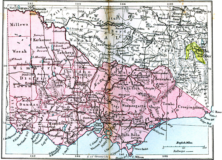
Description: Victoria and the Federal District.
Place Names: Victoria, Karkarooc, �Wimmora, �Dundas, �Ripon, �Grenville, �Tatchera, �Gladstone, �Moira, �Bogon, �Tambo, �Bairnsdale, �Wonnangatta, �Hampde
ISO Topic Categories: boundaries,
inlandWaters,
location,
oceans,
transportation
Keywords: Victoria and the Federal District, physical, �political, �transportation, physical features, major political subdivisions, railroads, boundaries,
inlandWaters,
location,
oceans,
transportation, Unknown, 1920
Source: , Asprey's Atlas of the World (London, England: Asprey and Co., Ltd., 1920) 114
Map Credit: Courtesy the private collection of Roy Winkelman |
|