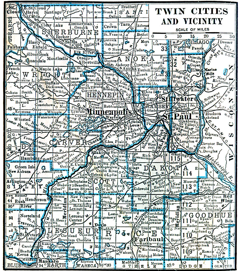
Description: A map from 1922 of the Twin Cities (Minneapolis and St. Paul) and neighboring counties. The map shows county boundaries and county seats, cities, towns, railroads, lakes, and rivers.
Place Names: Minnesota, Minneapolis, �St. Paul, �Red Wing, �St. Cloud, �Mankato, �Faribaul
ISO Topic Categories: boundaries,
inlandWaters,
location
Keywords: Twin Cities and Vicinity, physical, physical features, boundaries,
inlandWaters,
location, Unknown, 1922
Source: , Putnam's Handy Map Book (New York, NY: G. P. Putnam's Sons, 1922) 228
Map Credit: Courtesy the private collection of Roy Winkelman |
|