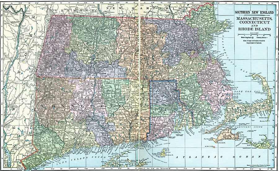
Description: Massachusetts, Connecticut, and Rhode Island, showing physical features.
Place Names: New England States, Massachusetts, �Boston, �Connecticut, �Hartford, �Rhode Island, �Providence, ��New Englan
ISO Topic Categories: boundaries,
location,
inlandWaters,
oceans
Keywords: Massachusetts, Connecticut, and Rhode Island, physical, �political, physical features, county borders, boundaries,
location,
inlandWaters,
oceans, Unknown, 1920
Source: , Hammond's Modern Atlas of the World (New York, NY: C. S. Hammond and Company, Inc., 1920) 66-67
Map Credit: Courtesy the private collection of Roy Winkelman |
|