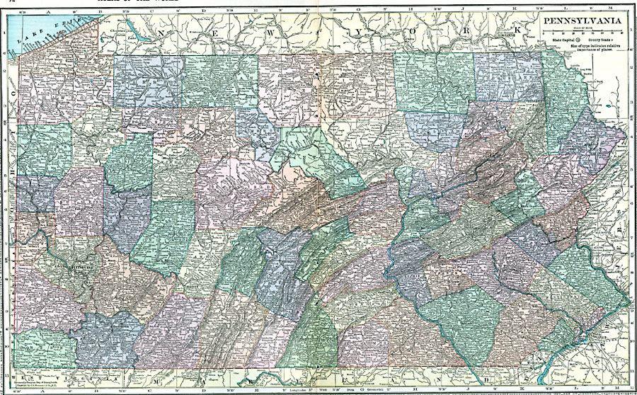
Description: A map from 1920 of Pennsylvania showing the capital at Harrisburg, counties and county seats, principal cities and towns, railroads, mountain systems, shoreline on Lake Erie, and rivers.
Place Names: Pennsylvania, Reading, �Philadelphia, �Erie, �Pittsburg, �Allegheny, �Gettysburg, �Lancaster, �Harrisburg, �Scranton, �Titusvill
ISO Topic Categories: boundaries,
location,
inlandWaters
Keywords: Pennsylvania, physical, �political, physical features, county borders, boundaries,
location,
inlandWaters, Unknown, 1920
Source: , Hammond's Modern Atlas of the World (New York, NY: C. S. Hammond and Company, Inc., 1920) 72-73
Map Credit: Courtesy the private collection of Roy Winkelman |
|