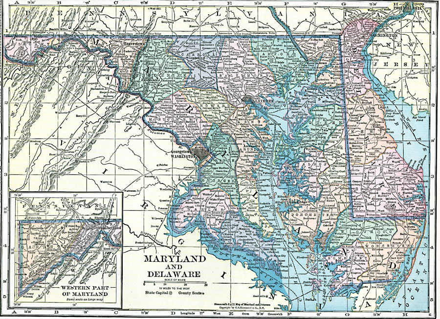
Description: Maryland and Delaware, showing physical features, including an insert of the western part of Maryland.
Place Names: Middle Atlantic States, Washington D.C., �Baltimore, �Hagerstown, �Annapolis, �Wilmington, �Dover, �Cumberland, �Mid-Atlantic States, �Middle Atlantic States, �Maryland, �Delawar
ISO Topic Categories: boundaries,
inlandWaters,
location,
oceans
Keywords: Maryland and Delaware, physical, �political, physical features, county borders, boundaries,
inlandWaters,
location,
oceans, Unknown, 1920
Source: , Hammond's Modern Atlas of the World (New York, NY: C. S. Hammond and Company, Inc., 1920) 74
Map Credit: Courtesy the private collection of Roy Winkelman |
|