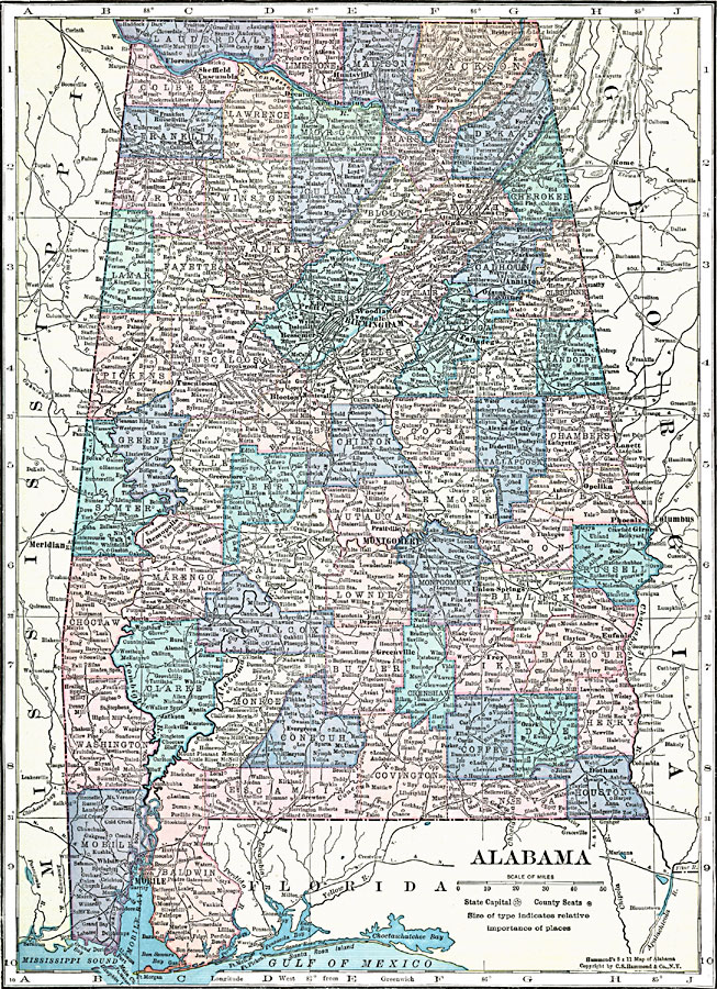
Description: A map of Alabama from 1920 showing the State capital of Montgomery, counties and county seats, major cities and towns, railroads, rivers, terrain features, and Mobil Bay.
Place Names: Alabama, Mobile, �Montgomery, �Huntsville, �Birmingham, �Tuscaloosa, �Eufaula, �Florence, �Selm
ISO Topic Categories: boundaries,
inlandWaters,
location
Keywords: Alabama, physical, �political, physical features, county borders, boundaries,
inlandWaters,
location, Unknown, 1920
Source: , Hammond's Modern Atlas of the World (New York, NY: C. S. Hammond and Company, Inc., 1920) 81
Map Credit: Courtesy the private collection of Roy Winkelman |
|