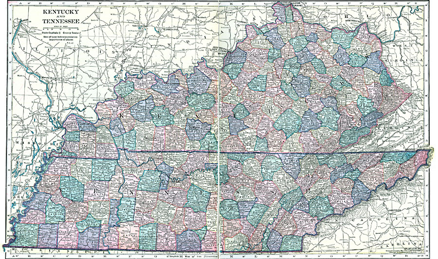
Description: Kentucky and Tennessee, showing physical features.
Place Names: Southern States, Kentucky, �Frankfort, �Lexington, �Bowling Green, �Tennessee, �Nashville, �Clarksville, �Knoxville, �Chattanooga, �Jackson, �Memphis,
ISO Topic Categories: boundaries,
inlandWaters,
location
Keywords: Kentucky and Tennessee, physical, �political, physical features, county borders, boundaries,
inlandWaters,
location, Unknown, 1920
Source: , Hammond's Modern Atlas of the World (New York, NY: C. S. Hammond and Company, Inc., 1920) 82-83
Map Credit: Courtesy the private collection of Roy Winkelman |
|