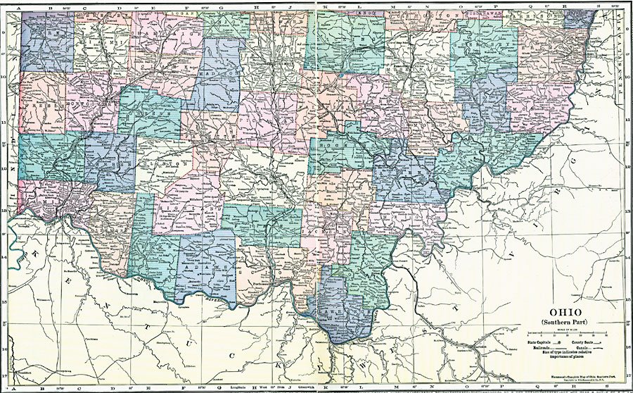
Description: A map from 1920 of the southern part of Ohio, showing the capital of Columbus, principal cities and towns, counties and county seats, railroads, canals, and rivers, including the Ohio River.
Place Names: Ohio, Dayton, �Hamilton, �Cincinatti, �Springfield, �Columbus, �Zanesvill
ISO Topic Categories: boundaries,
location,
inlandWaters,
oceans
Keywords: Southern Ohio, physical, �political, physical features, county borders, boundaries,
location,
inlandWaters,
oceans, Unknown, 1920
Source: , Hammond's Modern Atlas of the World (New York, NY: C. S. Hammond and Company, Inc., 1920) 86-87
Map Credit: Courtesy the private collection of Roy Winkelman |
|