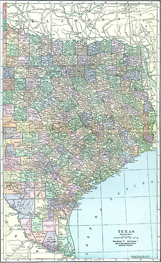
Description: A map from 1920 of eastern Texas showing counties and county seats, principal cities and towns, railroads, rivers, and coastal features.
Place Names: Texas, Brownsville, �Dallas, �Galveston, �Austin, �Corpus Christi, �Houston, �San Antonio, �Wac
ISO Topic Categories: boundaries,
location,
inlandWaters
Keywords: Eastern Texas, physical, �political, physical features, county borders, boundaries,
location,
inlandWaters, Unknown, 1920
Source: , Hammond's Modern Atlas of the World (New York, NY: C. S. Hammond and Company, Inc., 1920) 104-105
Map Credit: Courtesy the private collection of Roy Winkelman |
|