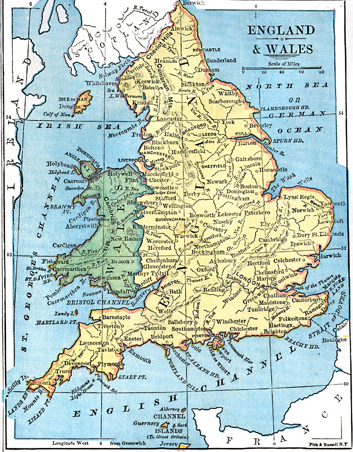
Description: A map of England and Wales from 1872, showing major cities and towns, rivers, terrain, and the ferry crossings of the Strait of Dover between Dover and Calais, and Folkestone and Boulogne.
Place Names: United Kingdom, Plymouth, �London, �Newcastle, �Manchester, �Bristol, �Falmout
ISO Topic Categories: boundaries,
location,
inlandWaters
Keywords: England and Wales, physical, �political, physical features, country borders, boundaries,
location,
inlandWaters, Unknown, 1872
Source: James Monteith, Comprehensive Geography (New York, New York: A. S. Barnes and Company, 1872) 61
Map Credit: Courtesy the private collection of Roy Winkelman |
|