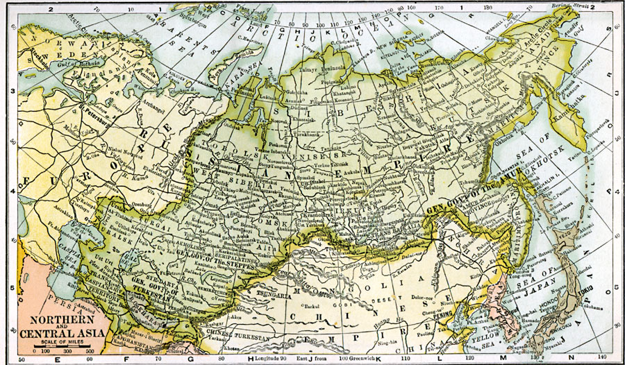
Description: A map from 1904 of northern and central Asia showing the political boundaries at the time. The primary focus of this map is the area of the Russian Empire in Asia, showing its extent from the Ural Mountains in Europe to the Pacific, the frontiers with China (Manchuria, Mongolia, and Chinese Turkestan), Bokhara, Afghanistan, and Persia, and the General Governments of Turkestan and of Amur. The map shows the Russian obolsk (provinces), major cities, railway towns, ports, railroads, mountain systems, lakes, rivers, and coastal features of the region.
Place Names: Northern Asia, Manchuria, �Mongolia, �Russia, �Siberia, �Turkesta
ISO Topic Categories: oceans,
location,
inlandWaters
Keywords: Russia in Northern and Central Asia, borders, �political, country borders, oceans,
location,
inlandWaters, Unknown, 1904
Source: George Edwin Rines, ed., The United Editors Perpetual Encyclopedia (New York, NY: United Editors Association, 1911)
Map Credit: Courtesy the private collection of Roy Winkelman |
|