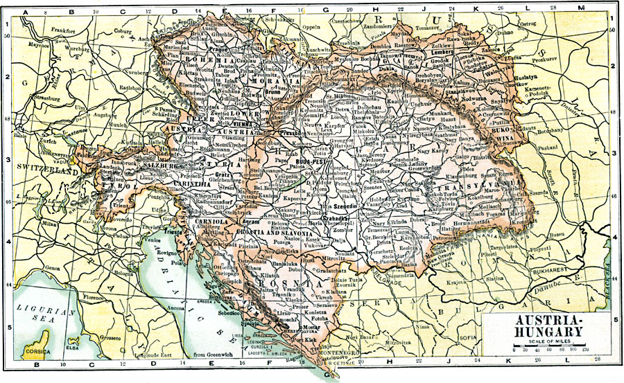
Description: A map showing the extent of the Austria–Hungary territories in 1904, showing districts, including Bohemia, Moravia, Silesia, Galicia, Transylvania, Tyrol, Styria, Carinthia, Carniola, Croatia and Slovenia, Kustenland, Bosnia, and Dalmatia, major cities and towns, railroads, rivers, and mountain systems in the region.
Place Names: Austria-Hungary, Bruma, �Budapest, �Innsbruck, �Klagenfurt, �Lemburg, �Prague, �Salzburg, �Sarajevo, �Vienna, �Zagre
ISO Topic Categories: oceans,
location,
inlandWaters
Keywords: Austria-Hungary, borders, �political, country borders, oceans,
location,
inlandWaters, Unknown, 1904
Source: George Edwin Rines, ed., The United Editors Perpetual Encyclopedia (New York, NY: United Editors Association, 1911)
Map Credit: Courtesy the private collection of Roy Winkelman |
|