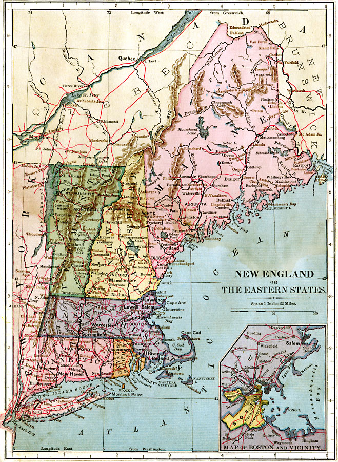
Description: The New England or Eastern states, showing physical features. Includes an insert of Boston vicinity.
Place Names: New England States, Boston, �New York, �Maine, �Augusta, �Vermont, �Montpelier, �New Hampshire, �Concord, �Massachusetts, �Connecticut, �Hartford, �Rhode Island, �Providence, ��New Englan
ISO Topic Categories: boundaries,
location,
inlandWaters,
oceans
Keywords: New England, physical, physical features, boundaries,
location,
inlandWaters,
oceans, Unknown, 1883
Source: , Handy Atlas of the World (New York, NY: Ivison, Blakeman, Taylor and Co., 1883) 8
Map Credit: Courtesy the private collection of Roy Winkelman |
|