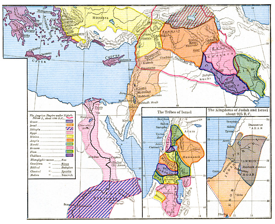
Description: Map of the Kingdoms of Judah and Israel about 925 B.C.
Place Names: Regional Mediterranean, Acco, �Ammon, �Berytus, �Carmel, �Damascus, �Edom, �Gaza, �Israel, �Jerusalem, �Judah, �Sidon, �Tyru
ISO Topic Categories: borders, �political, kWorldMedSea, kWorldAfroAsia, kWorldEurasia
Keywords: The Kingdoms of Judah and Israel , borders, �political, local jurisdictions, borders, �political, kWorldMedSea, kWorldAfroAsia, kWorldEurasia, Unknown, Circa 925 B.C.
Source: Robert H. Labberton, New Historical Atlas and General History (New York, NY: Townsend MacCoun, 1886) Plate V
Map Credit: Courtesy the private collection of Roy Winkelman |
|