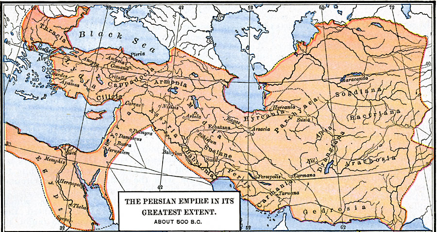
Description: Map of the Persian Empire in its Greatest Extent.
Place Names: A Regional Map of Asia, Armenia, �Assyria, �Babylonia, �Cilicia, �Gedrosia, �Hyrcania, �Lydia, �Persi
ISO Topic Categories: oceans,
location,
inlandWaters,
boundaries
Keywords: The Persian Empire in its Greatest Extent, borders, �political, major political subdivisions, oceans,
location,
inlandWaters,
boundaries, Unknown, Circa 500 BC
Source: Robert H. Labberton, New Historical Atlas and General History (New York, NY: Townsend MacCoun, 1886) Plate XI
Map Credit: Courtesy the private collection of Roy Winkelman |
|