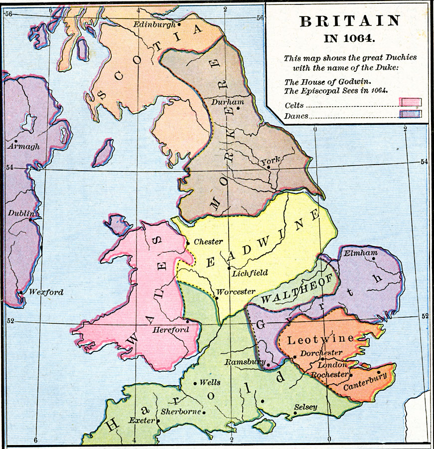
Description: A map of Britain in 1064. The map is color–coded to show the territories of the Celts and the Danes, and to show the great Duchies of Britain with the name of the Duke.
Place Names: United Kingdom, Eadwine, �Gyrth, �Harold, �Leotwine, �Morkere, �Scotia, �Wales, �Waltheo
ISO Topic Categories: oceans,
location,
inlandWaters,
boundaries
Keywords: Britain, borders, oceans,
location,
inlandWaters,
boundaries, Unknown, 1064
Source: Robert H. Labberton, New Historical Atlas and General History (New York, NY: Townsend MacCoun, 1886) Plate XXXI
Map Credit: Courtesy the private collection of Roy Winkelman |
|